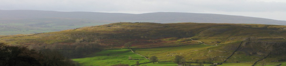
Today marked a distinct change in the character of the landscape, as I finally moved down off the high Pennine moors. While the countryside is still hilly, the hills are covered with farmland rather than open moorland.
I also spent a good part of the day on a canal towpath. For a relatively brief period, from the mid 18th century to the early 19th century and the coming of the railways, the canals were the cutting-edge technology for moving large quantities of goods. It is an amazing thought that hundreds of miles of canal were dug with no earthmoving technology more advanced than a pick, shovel, and wheelbarrow. Now, they are used as recreational waterways,and blend comfortably into the landscape.
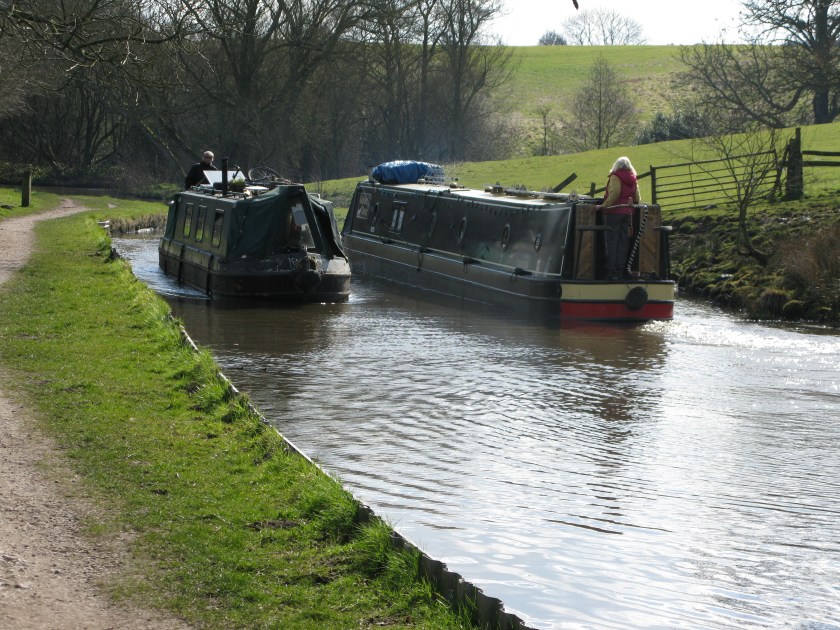
Fortunately, my resolution to walk every step of the way wasn’t put to the test, as the owner of the narrow boat going my way didn’t offer me a lift.
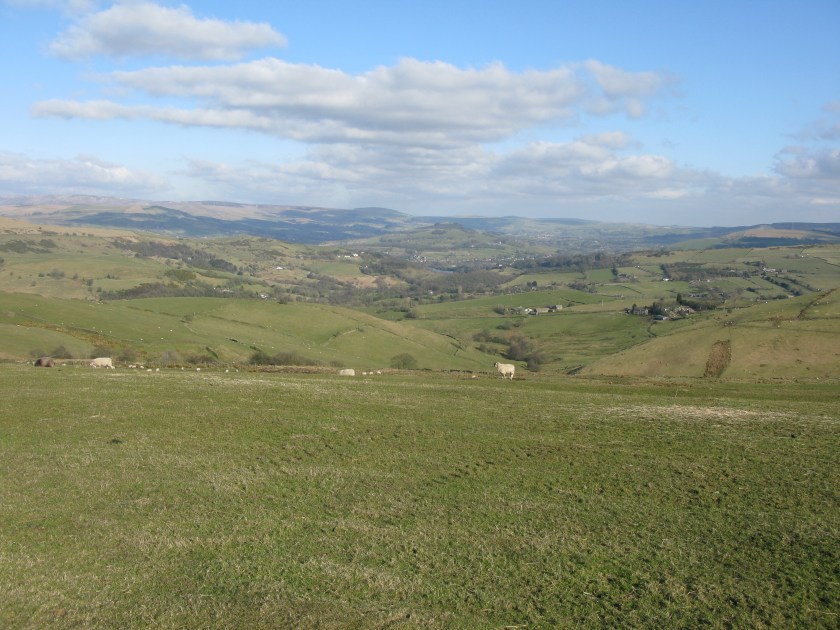
One thing I was reminded of today, as the South Pennine hills vanished over the horizon, is that while walking is slow by the standards of most means of transport, it is impressive to look back at the end of the day and realize how much ground one can actually cover. While the thought of actually walking to Rome still seems like a rather ludicrous ambition, the thought of a day’s walk being doable, and being an appreciable distance on the ground and on the map, makes perfect sense. I just have to keep racking up those days.
Day 6
Route: M67 terminus to Bollington via Tameside Trail, Goyt Valley Way, Peak Forest Canal, and Gritstone Way. Terrain: field paths, canal towpaths. Weather: cool, sunny, increasingly windy. Daily distance: 27.5 km/17.1 miles. Cumulative distance: 146.8 km/91.0 miles. Accommodation: Red Oak Farm, Bollington.
