March 21: The first urban day

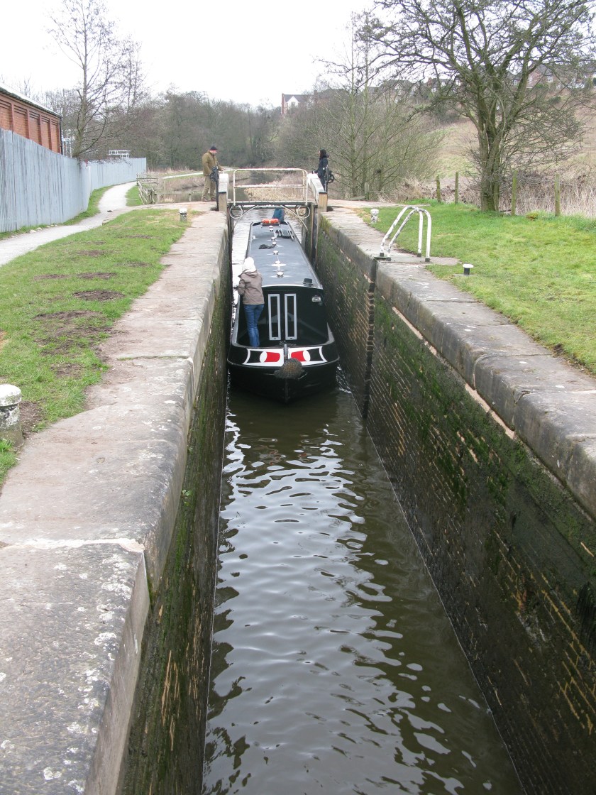
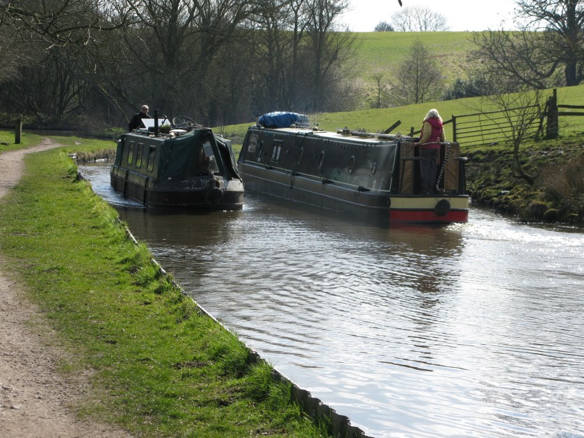
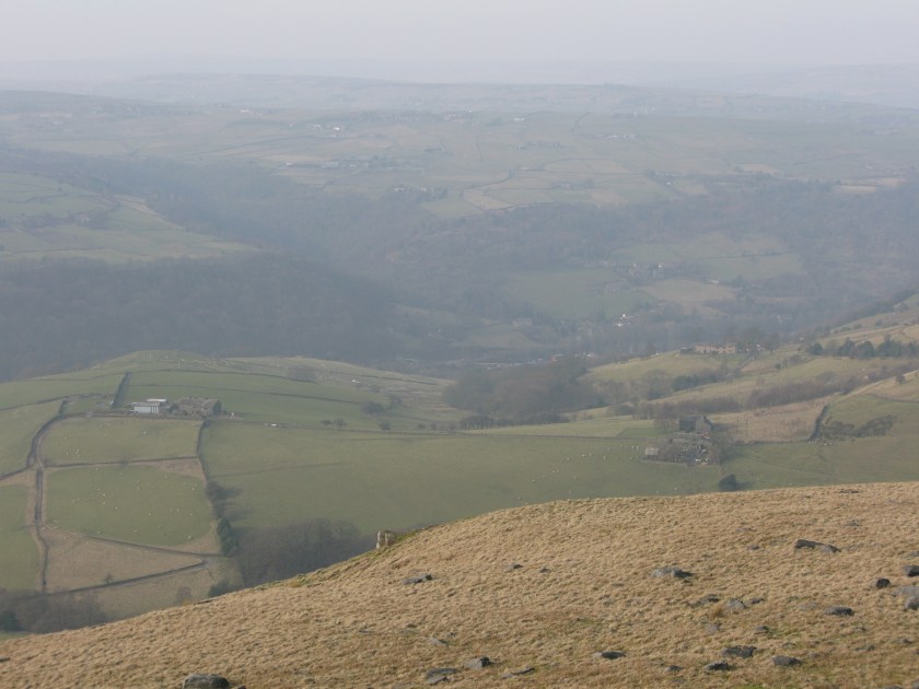
Today was the first day of my walk that was primarily through or near urban areas, rather than through countryside.

IMG_3012

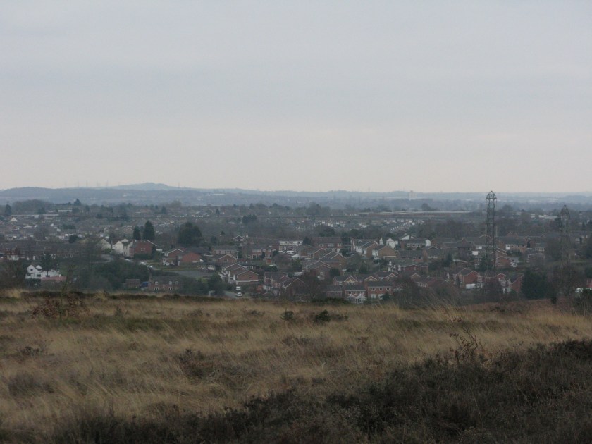
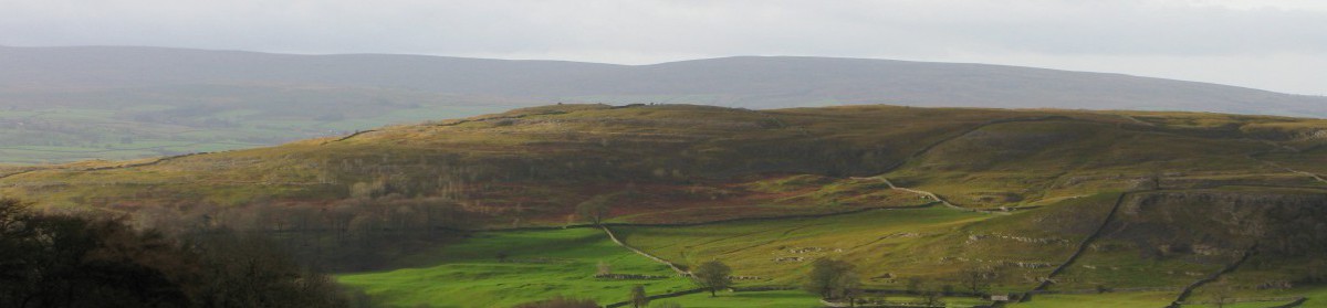
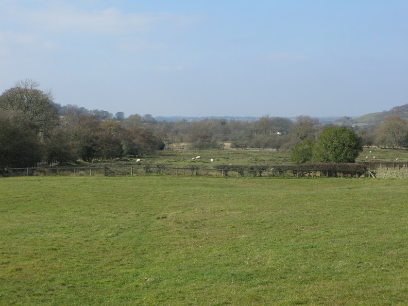
Living as I do in a rather remote and empty part of England, it’s easy to forget that England manages to squeeze more than 50 million people into a relatively small country. The fact that it can do so, and still preserve so much countryside even close to urban areas, is a considerable achievement (although not an uncontroversial one: the green belt legislation that preserves countryside close to major cities is said to push up house prices, particularly in London). You can see from the map link on the front page of this blog how the route I’m following carefully threads its way between urban areas.

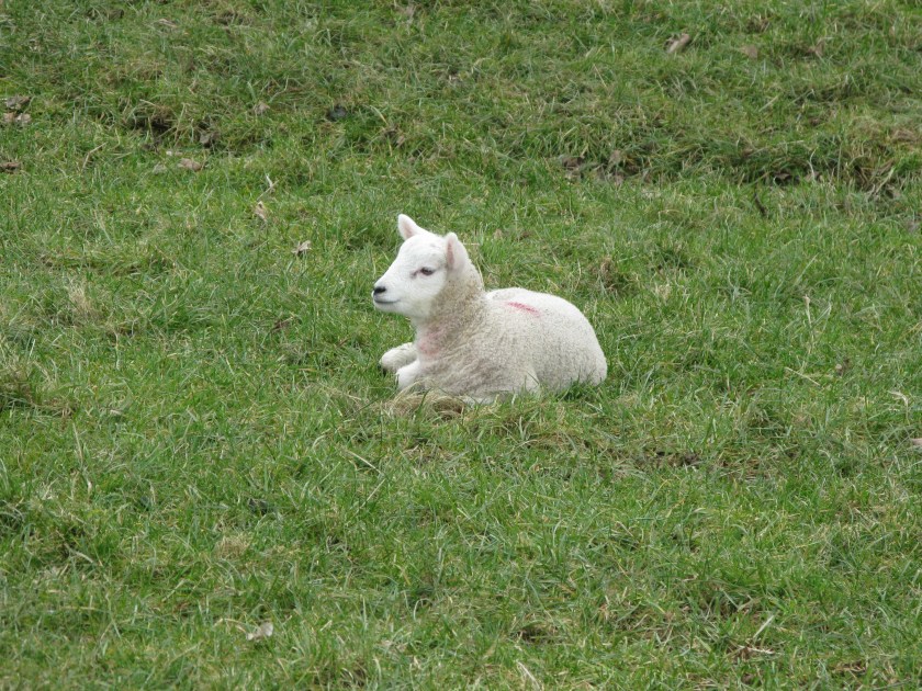
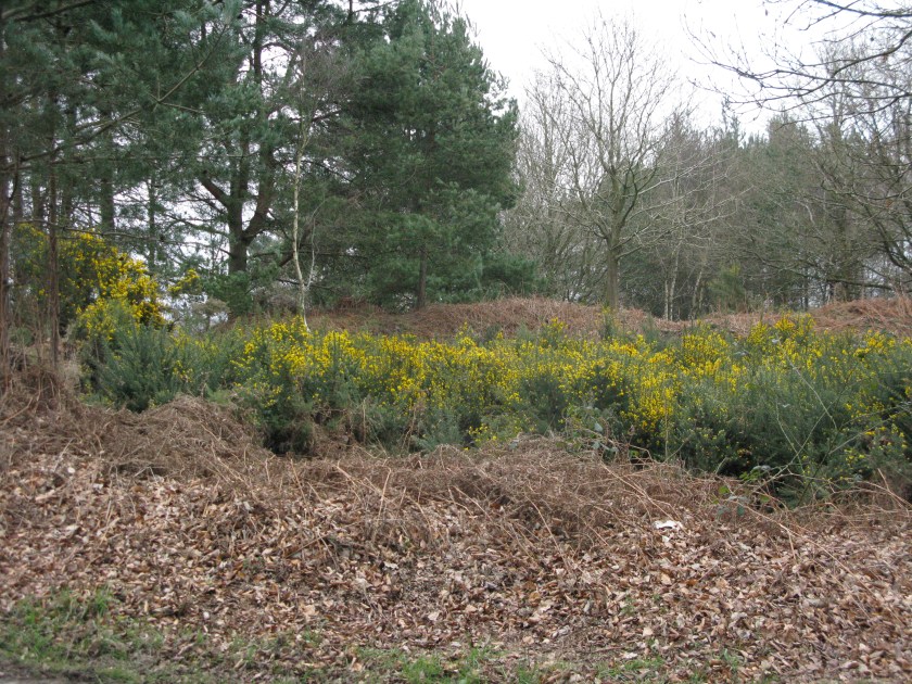
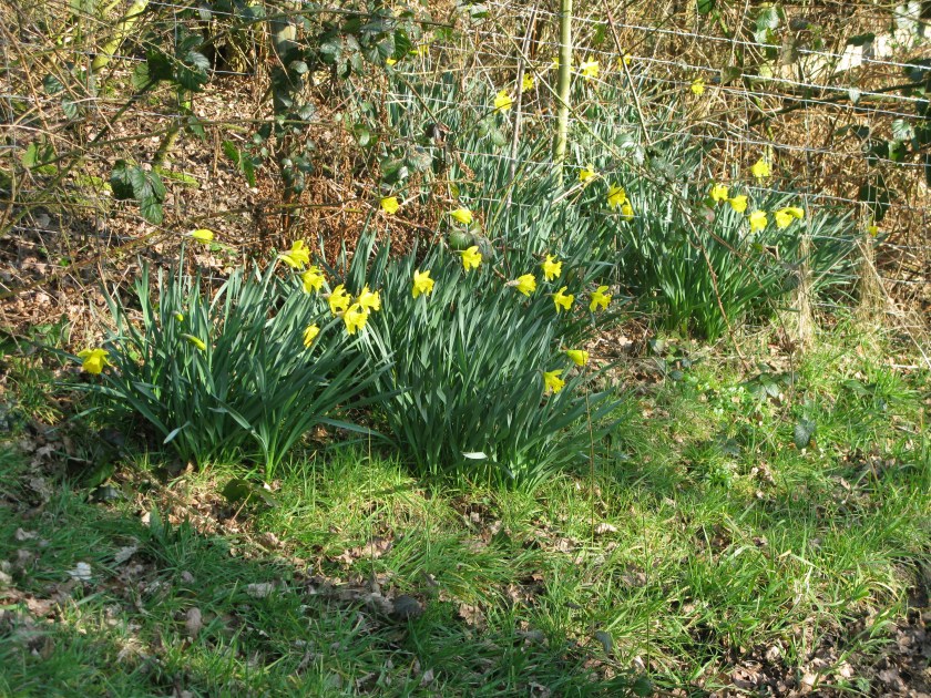
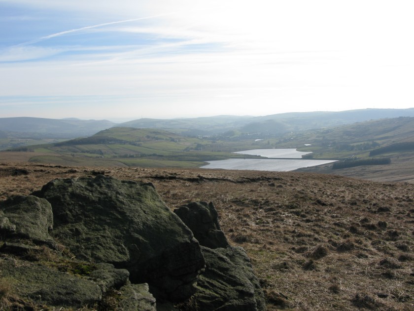
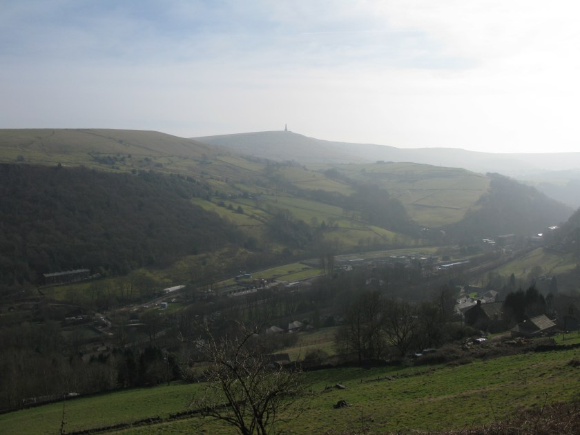
More signs of spring today: the gorse is blossoming.

IMG_3010

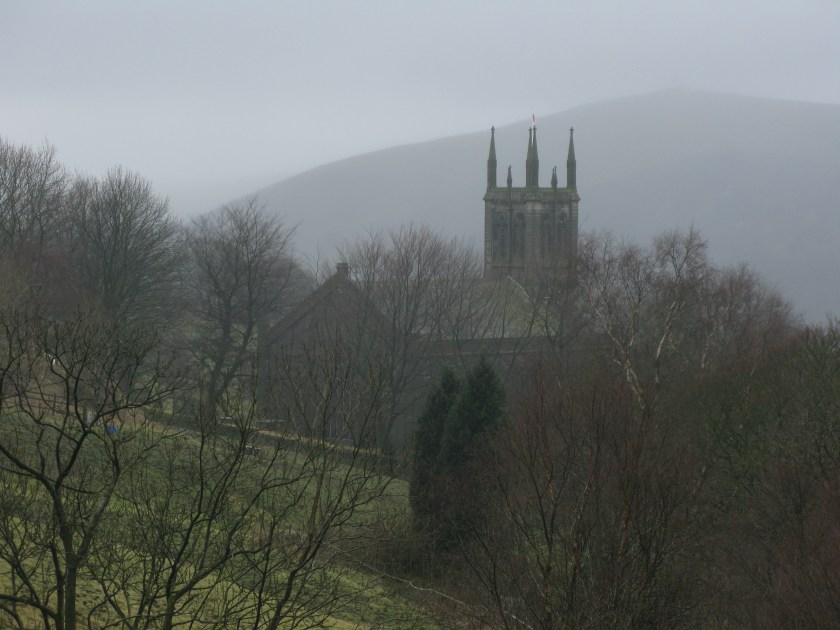
Day 11: Route: Colton to Lichfield via Staffordshire Way and Heart of England Way. Terrain: streets, heathland, wooded hills, fields. Weather: cool and cloudy. Daily distance: 21.0 km/13.0 miles. Cumulative distance: 262.4km/162.7 miles. Accommodation: Premier Inn, Lichfield.


March 20: The first hot day

My friend Kirsten would have enjoyed the strange – but friendly – creature that I met near the start of the walk this morning.

IMG_2998

And if that seems like the perfect pony for a hobbit, the landscape this morning could have been what J.R.R. Tolkien had in mind when he described The Shire.

IMG_3005

In fact, it may have been exactly what he had in mind. He grew up in Birmingham which is quite near here. Even the ridges of northern Staffordshire are out of sight now, never mind the high Pennines that I could see only a couple of days ago. The landscape is all gently rolling hills and flat water meadows. For the first time today, I walked the edges of cultivated fields, and saw crops growing.

The bane of my existence is becoming stiles.

IMG_3008.JPG

While you find these wherever you walk in England, the type varies from place to place.  In the Dales, where they have to get you across walls, they tend to be either stone steps or stout wood ladders. The key features of a Staffordshire stile, as far as I can tell, are a high barrier to step over, rotting wood, general disrepair, and some special treat to add variety (encroaching holly, barbed wire, an electrified fence, etc.). Add the fact that small fields mean that you might cross several dozen in a day’s walk, and they become a serious menace.

Today was a rather warm and sunny day – a hint of what I’ll need to be acclimatised for when I reach Italy in June.

Day 10 Route: Alton to Colton via Staffordshire Way. Terrain: field paths over rolling countryside and water meadows. Weather: sunny and warm. Daily distance: 31.5 km/19.5 miles. Cumulative distance: 241.4 km/149.7 miles. Accommodation: Ye Old Dun Cow, Colton.

March 19: The towpath day

Today was spent mostly on canal towpaths. In fact, thanks to a silly navigation error, I spent rather more time on canal towpaths than I should have done.

It seems odd, in a way, to remember that this tranquil setting was a vital part of England’s industrial heritage – a folk song describes building the canals as “scarring the face of England”.

I continue to be impressed with the ingenious simplicity of the canal system. Although modern narrowboats have engines, originally the canal boats would have been pulled by horses – this explains the presence of towpaths aLongside the canals. A horse could pull far more in a boat than on a wagon, particularly given the appalling state of 18th century roads. The other ingenious feature of the canals is the locks.  England is not flat. To get around this,  the canal builders used locks – essentially a short length of canal with a gate at each end separating two different levels of canal.

IMG_2988

To move to a lower section, the narrowboat would open the gate at the higher end, pull into the lock, close the  gate behind it, and slightly open the gate at the lower end.  The water would drain out of the lock and lower the narrowboat down. To move from the lower section, the narrowboat would open the gate at the lower section end, move into the lock, and close the gate behind it. The gate at the higher section end would then be opened slightly, and water would flow into the lock and lift the narrowboat to the level of the higher section (the photo is taken from the closed lock gate at the higher end – the higher section water level can be seen as the dampness on the lock walls). Of course, the system ultimately depended on collecting sufficient water to keep the higher levels full, but in rainy northern England that would not be a problem.

Being Saturday, it was also a day for couples to be out along the canal.

Route: Leek to Alton via Staffordshire Way and Churned Way. Terrain: canal towpath, low wooded hills. Weather: mostly overcast, pleasantly cool. Daily distance: 31.0 km/19.2 miles. Cumulative distance: 209.9 km/130.1 miles. Accommodation: The Maltings  B&B, Alton.

March 18: The first short day

After seven days of walking, at quite a bit quicker pace than the 20 km daily that I had planned for the first week, I was ahead of schedule but concerned that some of the creaking that I heard when I was walking wasn’t coming from my pack. So, I decided it was time to give my legs and feet a break. One thing I’ve learned with long walks is that tough days take a cumulative toll. So, today was just a short walk to the nearest town.

I could have chosen a more scenic place. It’s not a good sign when it takes an hour’s searching to find a local postcard. I’m sure there are attractive bits of Leek, but I didn’t find them. No photos today.

Day 8 Route: Rudyard to Leek via dismantled railway. Terrain: former railbed. Weather: cool, overcast. Daily distance: 3.5 km, 2.2 miles. Cumulative distance:  178.9 km/110.9 miles. Accommodation: Premier Inn, Leek.

March 17: The first Midlands day

Today the change in the landscape through which I’m walking became even more noticeable.

IMG_2970

The hills are more gentle, hedgerows rather than walls are starting to separate fields, and farmhouses are starting to be built of brick rather than stone.  I am leaving “the North”, and entering the Midlands: definitely a softer and greener landscape.

IMG_2976

There is one particular memory of Yorkshire that came back today. Yorkshiremen are notorious for being tight with their “brass” – money, that is. A few days ago I had stopped in a pub for lunch. It was a slow day, which the landlord was spending by hiding just inside the door, waiting for people to park in his roadside parking area without coming into the pub. When they did, he’d go out and shout at them. As I left, he was grumbling to another customer that he was having to pay to have the lines in the parking area repainted because people were using it to turn around: “and ’tweren’t my customers wearing off t’paint – they knows t’ park between t’lines”.  When I had arrived  some muck came off my boots, which he insisted on throwing on the fire. I had thought he was just being tidy. It was only later that it struck me that perhaps he was hoping for a free bit of peat.

With the change in the landscape, there are more signs of the change in season. Spring is definitely on its way.

IMG_2979

Day 7 Route: Bollington to Rudyard via Gritstone Trail and Staffordshire Way. Terrain: rolling hills, fields, tracks, former railway. Weather: sunny, breezy, cool. Daily distance: 28.5 km/17.7 miles. Cumulative distance: 175.4 km/108.7 miles. Accommodation: Hotel Rudyard, Rudyard


March 16: The first day off the moors

Today marked a distinct change in the character of the landscape, as I finally moved down off the high Pennine moors. While the countryside is still hilly, the hills are covered with farmland rather than open moorland.

IMG_2967

I also spent a good part of the day on a canal towpath. For a relatively brief period, from the mid 18th century to the early 19th century and the coming of the railways, the canals were the cutting-edge technology for moving large quantities of goods. It is an amazing thought that hundreds of miles of canal were dug with no earthmoving technology more advanced than a pick, shovel, and wheelbarrow.  Now, they are used as recreational waterways,and blend comfortably into the landscape.

IMG_2960

Fortunately, my resolution to walk every step of the way wasn’t put to the test, as the owner of the narrow boat going my way didn’t offer me a lift.

One thing I was reminded of today, as the South Pennine hills vanished over the horizon, is that while walking is slow by the standards of most means of transport, it is impressive to look back at the end of the day and realize how much ground one can actually cover. While the thought of actually walking to Rome still seems like a rather ludicrous ambition, the thought of a day’s walk being doable, and being an appreciable distance on the ground and on the map, makes perfect sense.  I just have to keep racking up those days.

Day 6

Route: M67 terminus to Bollington via Tameside Trail, Goyt Valley Way, Peak Forest Canal, and Gritstone Way. Terrain: field paths, canal towpaths. Weather: cool, sunny, increasingly windy. Daily distance: 27.5 km/17.1 miles. Cumulative distance: 146.8 km/91.0 miles. Accommodation: Red Oak Farm, Bollington.

March 15: The first unfamiliar day

I suppose pilgrims in medieval times must have reached a point where they left familiar countryside and got to places about which they had only heard from others.  I reached that point this morning: while the Pennine Way is an old friend, the rest of the walk to Dover will be all new to me.

The omens were not auspicious.  The northeast wind was still blowing, and bringing with it a  hint of rain.  The sky was overcast with low cloud. In short, a grey day.

IMG_2936

The navigation problems came as the route took me up onto high moorland and into the cloud.  Visibility dropped to perhaps a hundred yards, and tracks multiplied and became confusing and indistinct.  There were no real features to navigate by, but the map showed an “obelisk”.  It was a notable relief when a faint blur in the mist resolved itself into the obelisk (it’s on the shoulder of the hill in the photo below).

Many of these monuments on the South Pennine moors date back to the Napoleonic Wars, but this one was from the First World War, commemorating the dead from the local area. Many of the men from the industrial Pennine valleys were recruited into “Pals’ Battalions”, where men from the same town served together.  The Pals’ Battalions were supposed to help morale, but they also meant that a town’s recruits could be decimated in a day if the unit was in action. It struck me as I stood there that I would in all probability pass cemeteries in Northern France where some of these men now lie.

The cloud lifted somewhat, and my route took me lower, so that I could enjoy the contrast between the green valleys lower down and the high moorland above.

IMG_2943

The day ended with my last long stretch of moorland: tomorrow the landscape will change. It also ended with some luck, as I got the last available room in the only convenient hotel.

Day 5
Route: Standedge to M67 terminus via Oldham Way and Tameside Trail. Terrain: fields, moorland. Weather: cool, overcast, increasingly windy. Daily distance: 30.5 km/18.9 miles. Cumulative distance: 119.3 km/74.1 miles. Accommodation: Premier Inn, Manchester Hyde.

March 14, 2016: The last familiar day

Today marked my last day on familiar paths. The first four days of my journey have followed the Pennine Way,  England’s best-known long distance path, which I walked twenty years ago. After today I turn southwest and then south, through parts of England that I’ve never travelled before, let alone walked.  I won’t be back in familiar countryside until I reach Tuscany.

It should have been an easy day.  After the initial ascent from Mankinholes the rest of the day was virtually flat, contouring around the western edge of the high moorland plateau and looking out over the towns and reservoirs to the west.  The views were spectacular.

IMG_2935

The problem was the wind.  It started as a breeze, but got colder and stronger throughout the day.  It was coming from my  left, across the moors, and eventually it was blowing a near-gale. Keeping my footing over the rocky ground became a constage struggle, not heloped by the fact that the size of my pack gave the wind more to grab at. It made for a tiring day. (On the bright side, however, the freshly washed socks I had tied to the outside of my pack dried quite nicely.)

Day 4
Route: Mankinholes to Standedge via Pennine Way. Terrain: Tracks, high moorland plateau. Weather: Sunny, cold breeze strengthening to strong wind. Daily distance: 1.1 km/13.1 miles. Cumulative distance: 88.8 km/54.7 mles. Accommodation: Carriage House Inn, Standedge.

March 13, 2016: The first sunny day

While the forecast was good, the day started misty and overcast.  It was a suitable ambiance for a visit to Top Withins, which was supposedly in Emily Bronte’s mind as the setting for Wuthering Heights.  The Bronte Society admits that the actual house looked nothing like the one described in the novel, even before it became derelict,  but the setting is bleakly gorgeous.

IMG_2912

Soon after, the sun broke through and the Pennines showed their softer side.

IMG_2917

While the day’s walk wasn’t particularly long, it was made more difficult because I was moving against the grain of the landscape. Pennine valleys generally run East and west, while my route is generally southerly.  Eventually I reached Calderdale, with Stoodley Pike monument standing sentinel over the valley.

IMG_2920

After more of a climb than I really needed near the end of the day, the views from the monument back down into Calderdale and on to the hills I had traversed earlier were spectacular.

IMG_2921
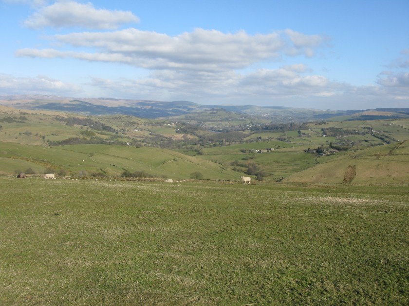
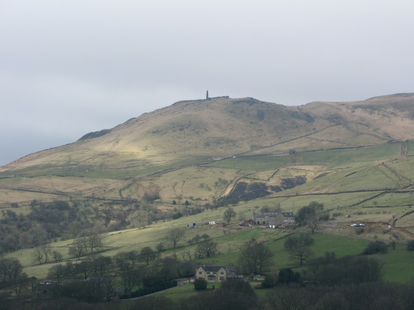
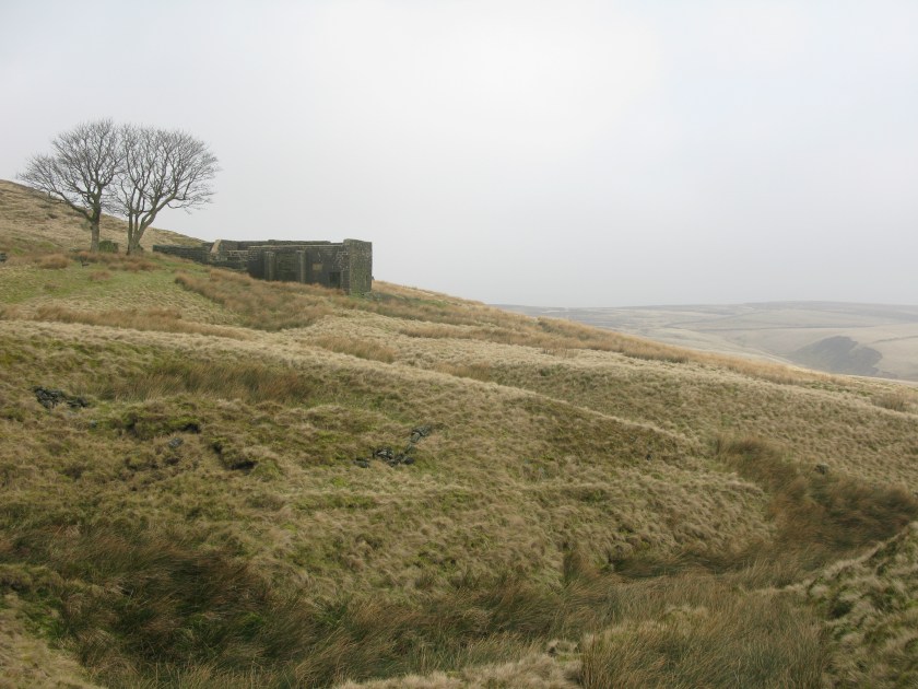
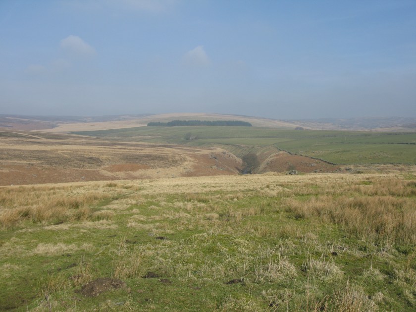
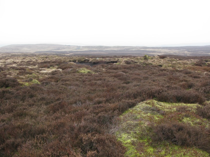
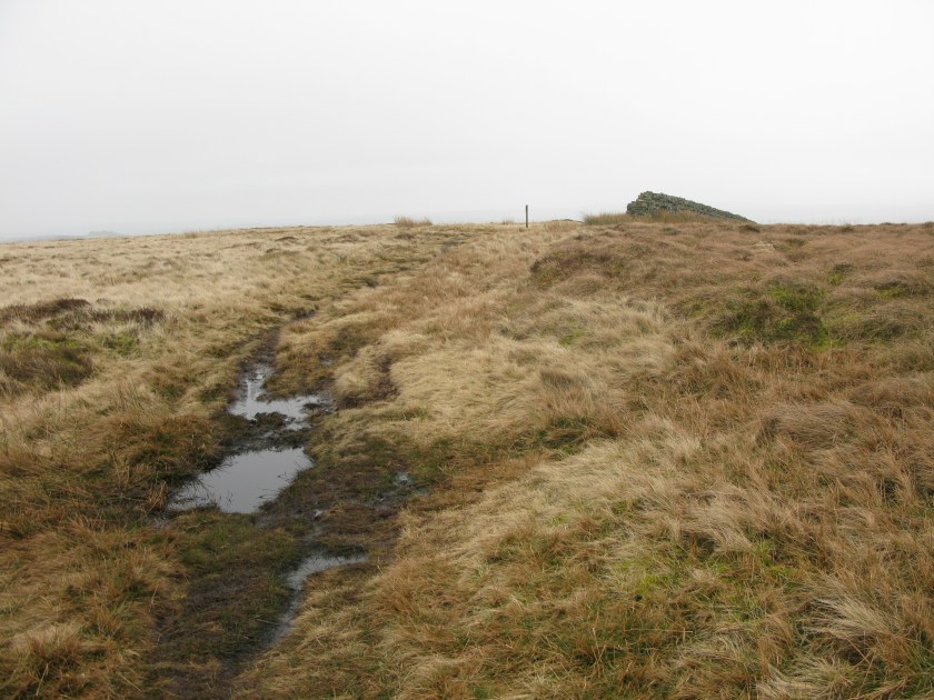
Day 3 Route: Ponden to Mankinholes via Pennine Way. Terrain: moorland, Pennine Way flagstones, fields, all undulating. Weather: mostly sunny, some high cloud. Daily distance: 23.3 km/14.4 miles. Cumulative distance: 67.7 km/41.6 miles. Accommodation: Mankinholes youth hostel

March 12, 2016: The first hard day


The second day of a long walk tends to be the hardest.  On the first day one has fresh muscles, novelty, and a comfortable night in one’s own bed. On the second day one is stiff, sore, and the scale of the challenge starts to become apparent.  I was particularly nervous on this second day because, despite my plans to have an easy first few days, the need to find accommodation meant today was a long day with two high moorland ridges to cross.

The morning was still hazy when I left Gargrave.

IMG_2889
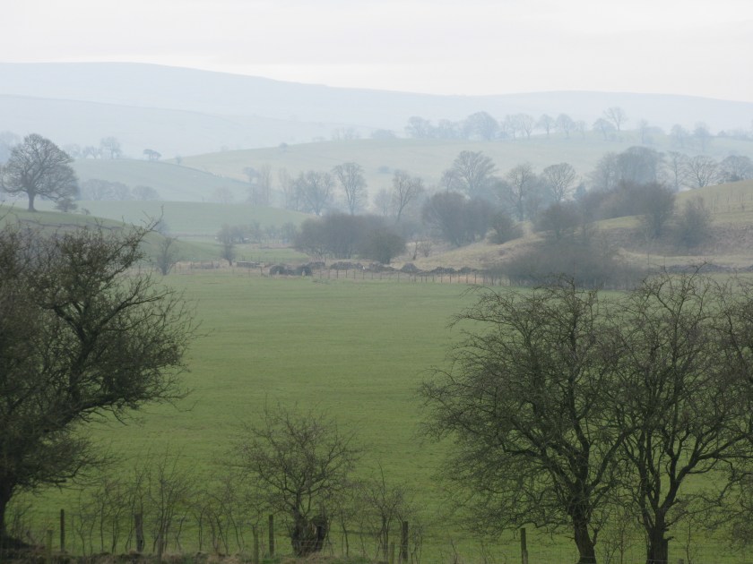
There were, however, signs of spring about.

IMG_2895

What he’s not telling you is that the ground underneath him is sodden from the very wet winter we’ve had. It makes every step an effort, as you have to wrench your boot from the suction of the ground for each step.

It was almost a relief to reachieve the moorland.  It’s amazing terrain, intimidating in its bleakness and the scarcity of features for navigation.

IMG_2901

In The Hound of the Baskervilles the warning was given: “If you value your life, stay away from the moor”, and one can see why – one would not care to be lost up here. Even on a clear day like today, it was a relief when the field wall I was aiming for came into view.

IMG_2902.JPG

Ans shortly afterward I was at my B&B, tired but not exhausted, and starting to think that completing this mad project might actually be possible. A long hard day, but doable.

Route: Gargrave to Ponden via Pennine Way.  Terrain: rolling fields, high moorlands. Weather: cool, overcast, dry but threatening rain. Daily distance: 25.8 km/16.0 miles. Cumulative distance: 44.4 km/27.2 miles. Accommodation: Ponden House B&B, Ponden.