April 17: The lowland day

Barao de Sao Joao marked my introduction to the touristy side of the Algarve. After a week going through countryside and villages that seemed to have changed little in years, the sight of aging hippies in dreadlocks busking outside cafes was a bit of a shock. But discovering the communal village laundry on the way out of the village, still clearly in use, lifted my mood.

After yesterday’s exertions, today was a fairly easy day – not too long and not too hilly. With time to spare, I took a fairly easy pace.

The landscape had a lush feel to it. The whole route has been green, but the countryside here doesn’t have the parched, arid feel that I saw during the first few days. There’s also the feel of sea air, the knowledge that there’s water just over the horizon, and occasional glimpses of the ocean. The day reminded me of approaching Dover through Kent – there is the same sense of land running out.

When I arrived at Vila do Bispo, I did so with a sense that Cape St Vincent was close ….

Day 9 Route: Barao de Sao Joao to Vila do Bispo. Terrain: tracks and minor roads. Weather: sunny and warm. Daily distance: 25.1 km/15.6 miles. Cumulative distance: 217.5 km/134.9 miles. Accommodation: Casa Mestre, Vila do Bispo.

April 16: The long day

I knew that today would be a hard day, and I wasn’t disappointed.

Because of limited options for accommodation, and my determination not to carry a tent for ten days and use it just for one, today ended up being a very long day. Some days the miles seem to fly by, while on other days they drag. Today, particularly later in the day, was a day when walking was a real effort.

It also marked my transition from the mountains to the more touristy lowlands. Marmelete, which I reached midmorning, still felt like it had changed little in years.

The locals even seemed a bit bemused at my appearance.

By the end of the afternoon, the mountains where I had started my day had almost disappeared into the distance.

A long day, and a tough one, but ultimately satisfying.

Day 8 Route: Corgo do Vale to Barao de Sao Joao via Marmelete and Bensafrim. Terrain: forest paths and minor roads. Weather: a mix of sun and cloud. Daily distance: 40.1 km/24.9 miles. Cumulative distance: 192.4 km/119.3 miles. Accommodation: Casa de Joao, Barao de Sao Joao

April 15: The short day

Today’s route took me across the highest point of the Algarve, with spectacular views in all directions. Or at least that was the plan. Unfortunately, when I woke up, there was an all too familiar pattering on the canopy outside my room.

Because it was a short day, I managed to delay my start until the rain had stopped. The first part of the walk took me up through some rather attractive woodland.

Unfortunately, the higher I got, the more the cloud closed in, so that I only had glimpses of the landscape around me.

Soon after I reached my destination for the night, the rain started again. So, I missed the views, but at least I stayed dry.

Day 7 Route: Monchique to Corgo do Vale. Terrain: tracks and footpaths. Weather: cloudy. Daily distance: 12.7 km/7.9 miles. Cumulative distance: 152.4km/94.4 miles. Accommodation: Horta do Ze Miguel, Corgo do Vale

April 14: The long tough day

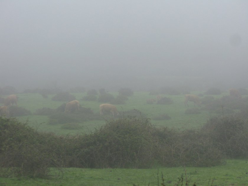
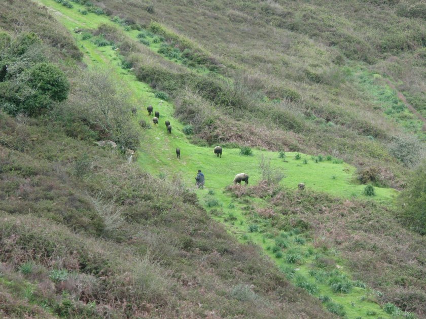
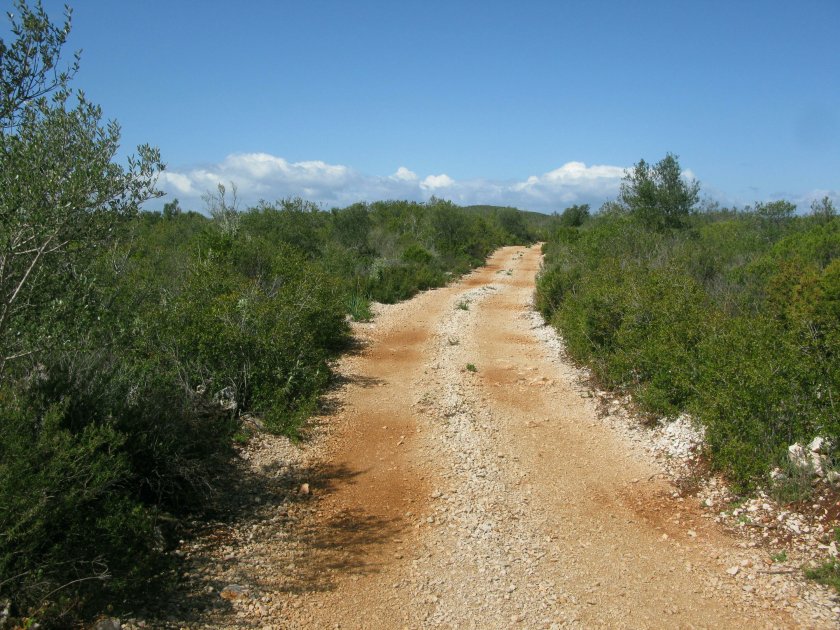
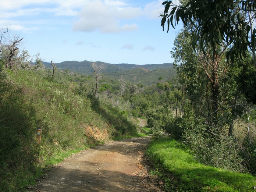
As I left Silves, with its impressive castle, I was expecting today to be a tough day.

Apart from the length of the day, there were two main obstacles to overcome: crossing the Ribiera de Odelouca, which was showing as a ford or perhaps stepping stones on the map, and going over the summit at Portela, which at 774m was a fair way up from my start at only just above sea level.

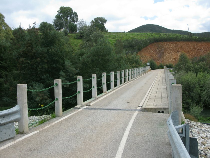
While I spent the morning steeling myself for the Odelouca crossing, it turned out I needn’t have worried. Since the maps had been printed, someone had thoughtfully built a bridge.

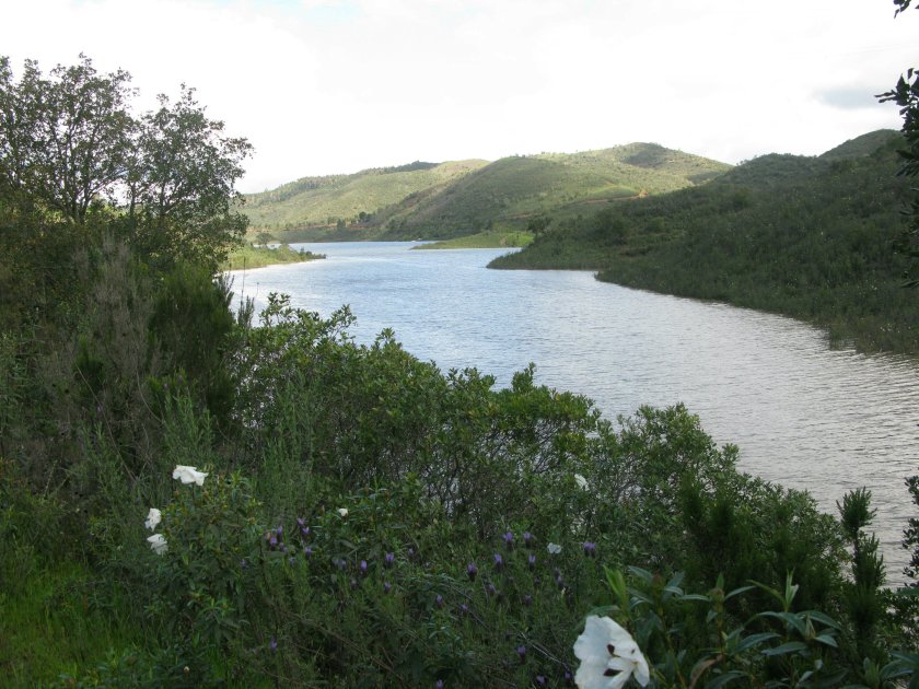
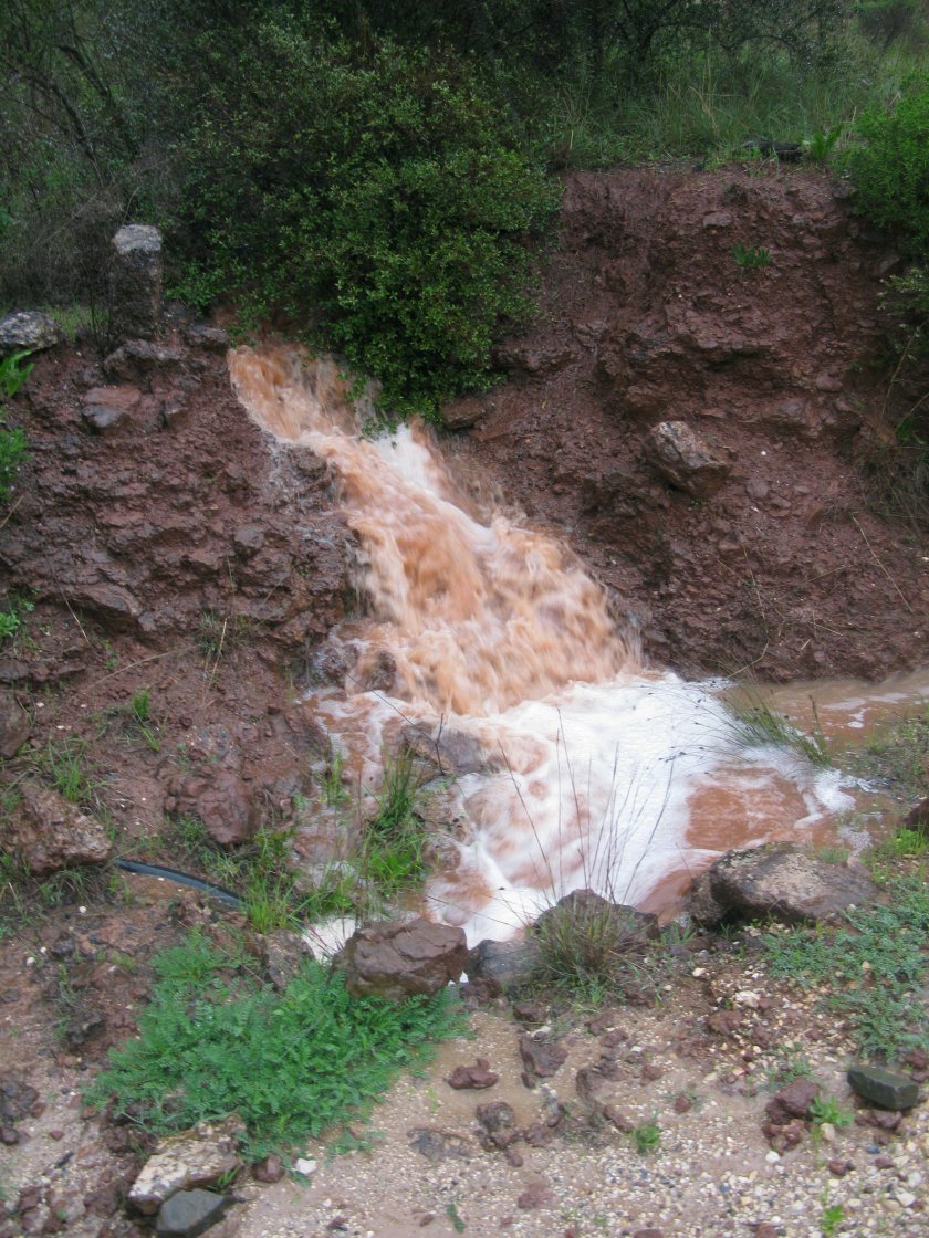
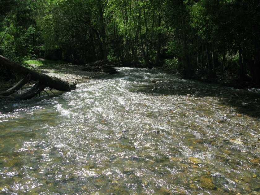
Just a little farther on, however, I discovered I would have to cross the Ribiera de Monchique. This probably wouldn’t usually be an issue, but with the rainfall of the last few days there was a fair bit of water in the river.

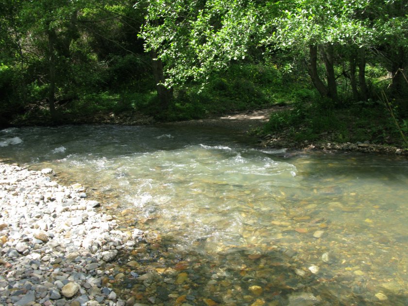
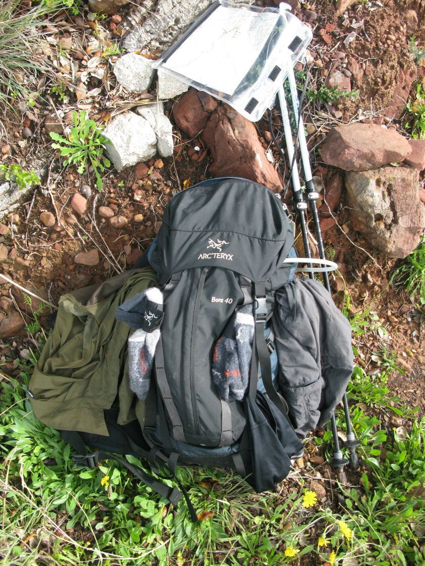
Frankly, if I’d have been on a wander in my local hills, I’d probably have turned back at this point. Here, I didn’t really have that option, other than by taking a massive detour. So, boots off, spare shoes and shorts on, pack waistband unbuckled just in case, and I went for it.

There were two further crossings of the same stream in the next few hundred metres, both also a bit sporting.

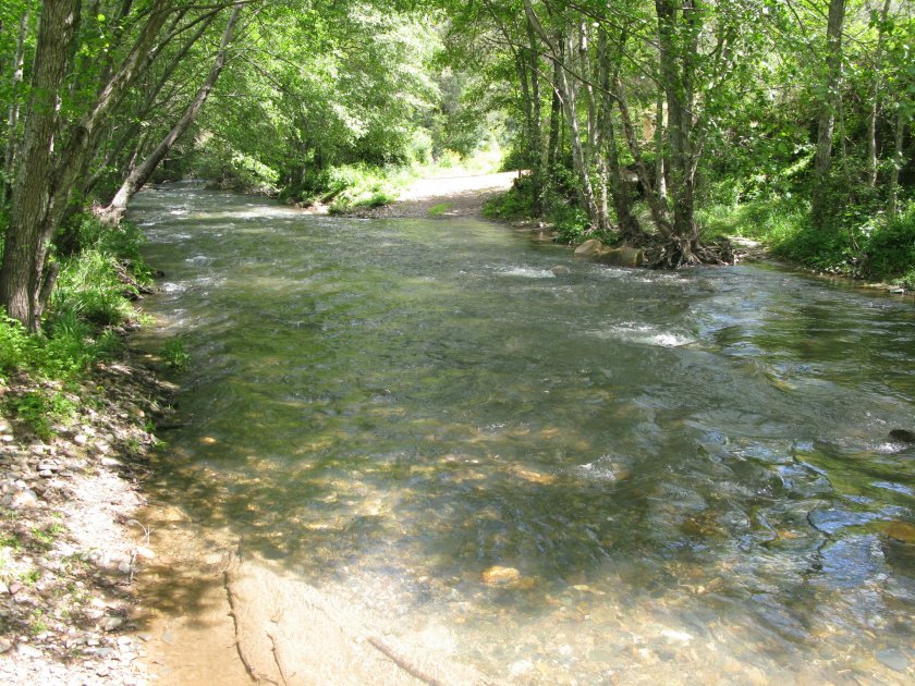
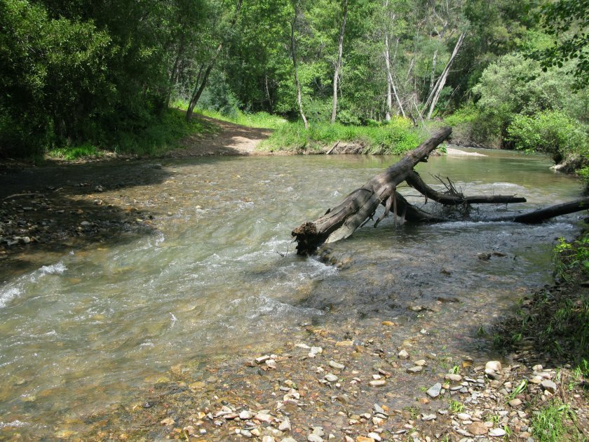
The force of the water was impressive but at least the water was clear, which allowed me to choose my route. The crossings wouldn’t have been safe otherwise.

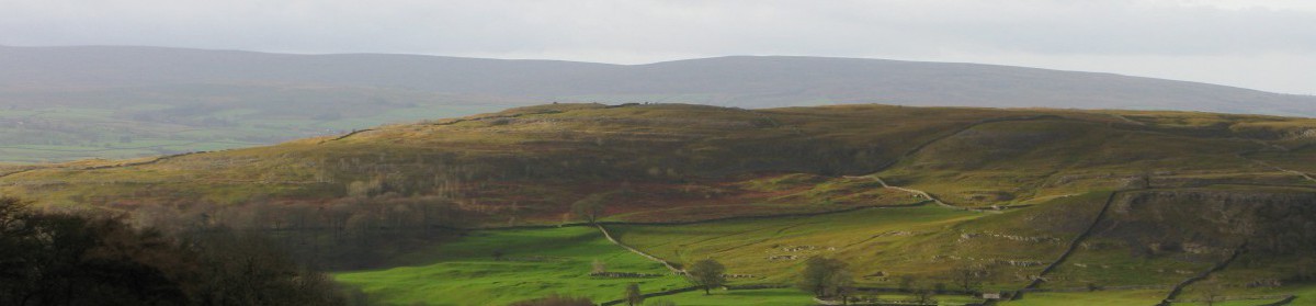
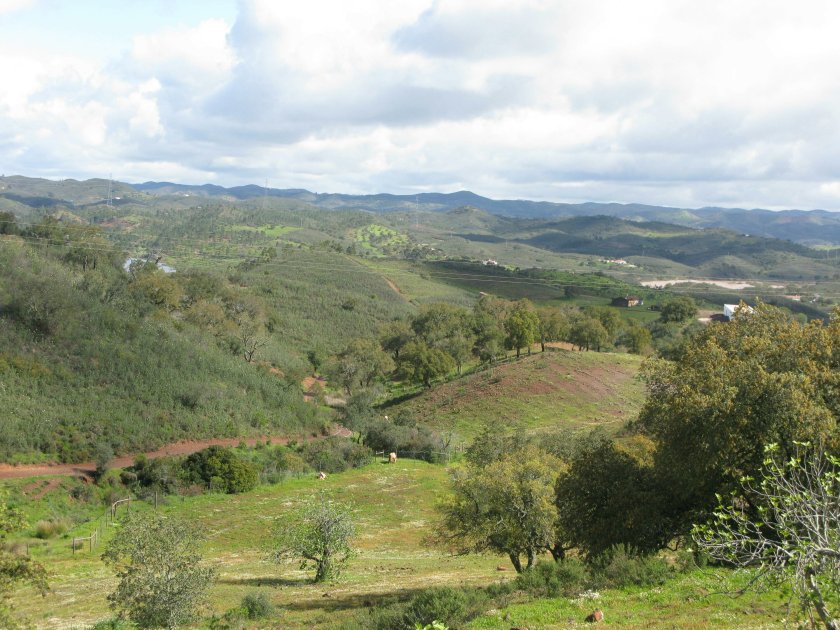
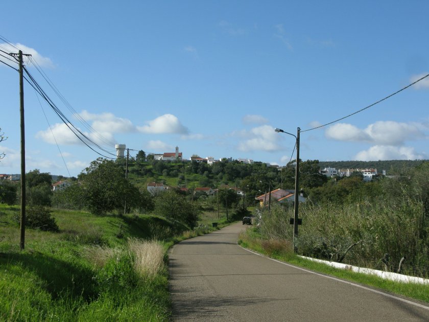
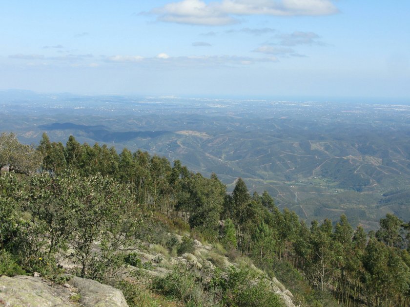
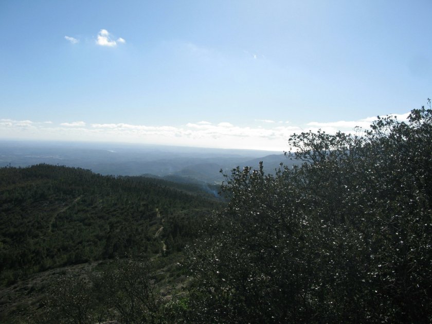
Oddly, the river crossings invigorated me, and the long pull up to the summit seemed to go very quickly. And, from the summit, I could see both the south and west coasts in the distance.

A tough day, but the best of the trip so far.

Day 6 Route: Silves to Monchique via Corte Grande. Terrain: tracks, footpaths, minor roads. Weather: a mix of sun and cloud. Daily distance: 29.7 km/18.4 miles. Cumulative distance: 139.7 km/86.6 miles. Accommodation: Estrela de Monchique, Monchique.

April 13: The drier day

I was somewhat relieved that today started out pleasantly, and largely stayed that way.

For much of the day, the route contoured around a large reservoir. The flowers that this area is supposedly famous for were also more noticeable, although the predominant colours of the landscape were still the green of the vegetation and the red of the earth beneath.

Given the weather, I decided that it was a good day to hang some laundry.

One of the surprising things about long distance walking for me is how full the days are. You get up in the morning, pack, have breakfast, walk all day, get to your accommodation, recuperate for a bit, shower, wash clothes, shop for the next day (if there’s one available, have dinner, blog … and then it’s time for bed and the cycle repeats. At least on dry days there’s a chance to get laundry dried.

Day 5 Route: Sao Bartolomeu de Messines to Silves. Terrain: tracks, footpaths, minor roads. Weather: a mix of sun and showers with odd drops of rain. Daily distance: 29.1 km/18.0 miles. Cumulative distance: 110.0 km/68.2 miles. Accommodation: Residencial Ponte Romano, Silves.

April 12: The satisfying day

Today was another day of glorious weather on the sunny Algarve. Well, not really. This was the view from the hotel terrace as I left.

The rain lasted throughout the day. Sometimes it was torrential, sometimes it was drizzling, but it was ever – present. The re was water everywhere, so that dry gullies became rushing torrents.

For all that, it was still a satisfying day. My body is starting to adapt to the rhythms of a long distance walk. The first half hour of the day no longer feels as painful, the pack doesn’t feel as onerous, and the miles seem to pass more easily. It’s a good feeling.

And who knows … tomorrow might even be dryer.

Day 4 Route: Alte to Sao Bartolomeo de Messines. Terrain: tracks, footpaths, minor roads. Weather: Rain throughout, occasionally windy. Daily distance: 19.3 km/12.0 miles. Cumulative distance: 80.9 km/50.2 miles. Accommodation: Bartolomeo Guesthouse, Sao Bartolomeo de Messines.

April 11: The slightly damp day

After the torrential rain yesterday, and some rather violent storms that woke me up in the night, it was a relief to find the sun shining this morning.

Unfortunately the clouds peeking from behind the hill were just an advance party. By midmorning their bigger, and darker, colleagues had arrived. Fortunately I only had to put up with one short shower, but there were others threatening.

I seem to be a bit focused on the weather in this blog, but that’s probably inevitable when you’re doing a long distance walk. You don’t really have the option of not walking on a given day, so you just have to live with whatever it throws at you. It’s part of the attraction of a long walk: your day revolves around simple things, like the weather, getting enough to eat and drink, following the route, and finding shelter.

The importance of rainfall was apparent all around me today. The walk took me through a valley that has clearly had a long history of cultivation, growing almond, olive, fig and carob trees which are now scattered across the landscape.

There are still signs of the effort that cultivating these trees must have taken.

While this particular apparatus is fairly recent, the technology used apparently goes back to Arab times. A donkey walks round pushing the handle, which turns gears that bring full buckets of water up, tipping the water into an irrigation channel.

Later on, the route took me up into the hills in the background of the last photograph, where the track wove its way very pleasantly through semi – arid bush before giving way to orange plantations.

The technology watering the oranges has advanced, but the basic need to store and move water to get things to grow hasn’t changed.

Day 3 Route: Salir to Alte. Terrain: tracks, footpaths, and minor roads. Weather: sunny to start, then a mix of sun and cloud with some showers. Daily distance: 16.2 km/10.1 miles. Cumulative distance: 61.6 km/38.5 miles. Accommodation: Alte Hotel, just outside Alte.

April 10: The very wet day

I’ve found that the second day of a walking trip is usually a tough day. On the first day, I’m fresh and keen. On the second day, all the out-of-practice muscles are grumbling. And that’s how it was this morning.

It didn’t help that it was pouring as I started off today, and there was a stiff breeze blowing.

While the breeze dropped as I came down off the ridge and into a valley, the rain went on. And on. The whole day’s walk was one long soggy plod.

I tend to think of Portugal as a Mediterranean country, but of course it isn’t – it lies on the Atlantic. Days like today are a salutary reminder of that geography. At least tomorrow’s forecast is a bit better.

Day 2 Route: Barranco do Velho to Salir Terrain: unpaved minor roads, tracks, and footpaths. Weather: persistent heavy rain, breezy on ridge. Daily distance: 14.9 km/9.3 miles. Cumulative distance: 45.4 km/28.3 miles. Accommodation: Casa Mae, Salir.

April 9: The first day

My walk along the Via Algarviana began at the centre of Sao Bras de Alportel.

For logistical reasons, I had decided to start my trip along the Via Algarviana at Sao Bras de Alportel and take a link path to join the main route at Parises, partway through the fifth of fourteen sections.

It was only a few steps before I encountered my first waymark.

The overall quality of the waymarking has been a very pleasant surprise, at least so far. I’d been prepared to navigate the route with map and compass, and still tried to rely primarily on the maps rather than the waymarks, but the map reading was almost superfluous today.

Today’s walking ran through ranges of low green hills separated by valleys, mostly on tracks and forestry roads.

One striking feature of the landscape was how empty it was. Sao Bras de Alportel seems to mark the northern end of the coastal villa belt, and north of there the landscape was mostly deserted. There’s little sign that much of this land was ever cultivated, and the odd deserted village shows that it’s even emptier today than it used to be.

I’d given myself a long day to start, and was flagging toward the end, but then the tough semi – arid vegetation, which had been all shades of green, started to give up some touches of the colour that this region is supposedly famous for in spring.

It cheered the last kilometre of a tough day.

Day 1 Route: Sao Bras de Alportel to Barranco do Velho via Parises. Terrain: Weather: Sunny to start, then a mix of sun and showers from midday. Daily distance: 30.5 km/19.1 miles. Cumulative distance: 30.5 km/19.1 miles. Accommodation: A Tia Bia, Barranco do Velho.