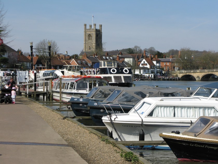
I learned something about my taste in walks today.
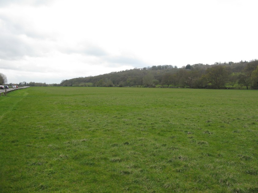
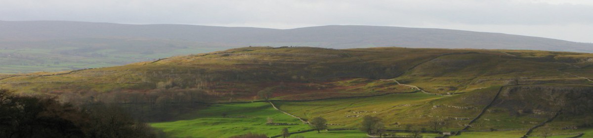
My route took me away from waterways, which I’ve been following for the past week, and up onto the North Downs. The North Downs are a long ridge of hills that run west to east, just south of London. They are not particularly high, or particularly dramatic, but they lift a walker above the surrounding countryside – the route runs along the south side of the downs, just below the crest.
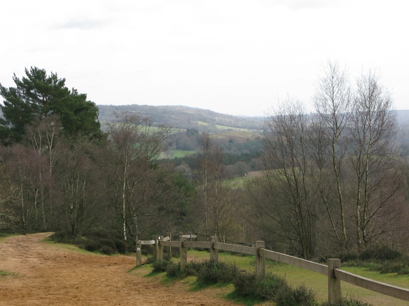
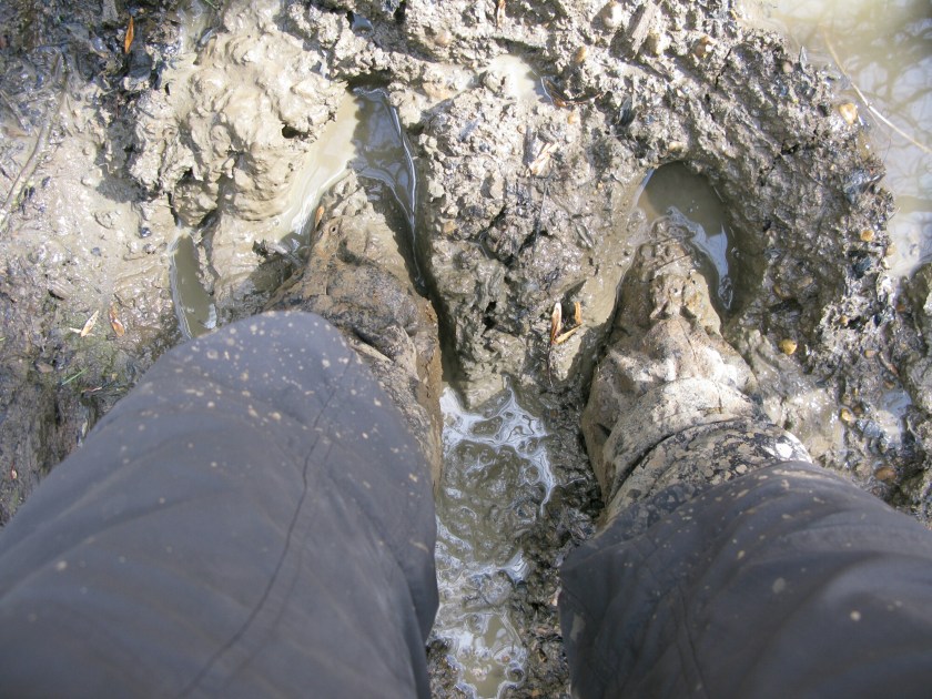
And I loved it, mud, rain, wind, and all – and I had them all. I realized today that, as beautiful as the recent riverside paths have been, I tend to prefer walks that take you away from urban or cultivated landscapes, and ideally up into the hills.
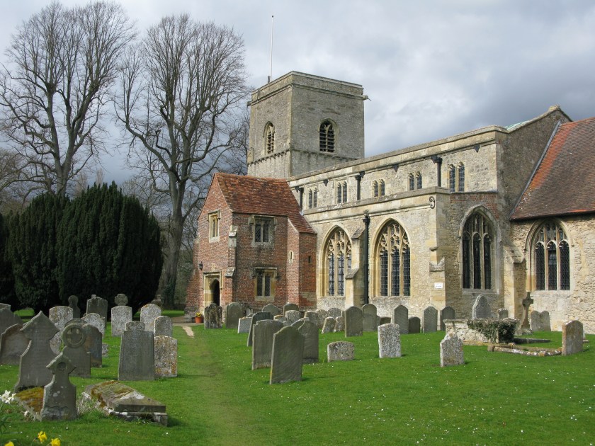
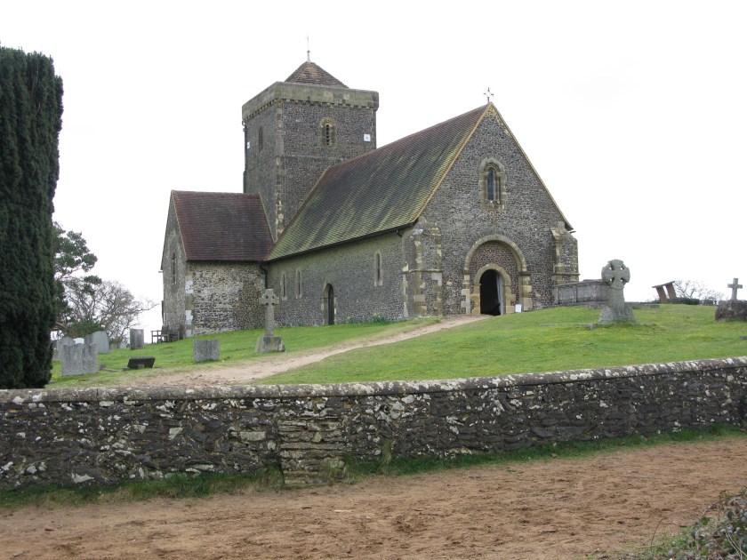
Quite apart from the views, the Downs are replete with history. For the first time on this walk, I was following in the footsteps of pilgrims, as the North Downs Way runs near (and in some places along) the old pilgrim route from Winchester to Canterbury. The church of St. Martha, high on the ridge, would have served those pilgrims. It fell into disuse when the pilgrimages died out as there is no village near.
And there are also signs of more recent history.
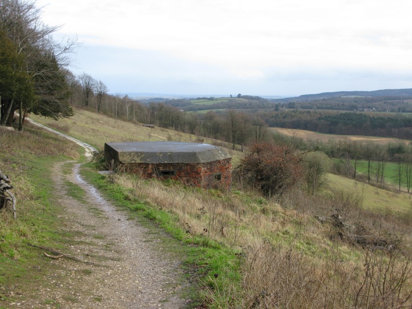
In 1940, with invasion threatened after the fall of France, a line of “pillboxes” – simple fortification – was built along the North Downs. It would have been the last line of defence before London. In the event, there was a battle fought here, but it was fought in the skies above, no doubt watched from these pillboxes. And the invasion never came.
Day 27 Route: Guildford to Dorking via North Downs Way. Terrain: rolling hills, tracks. Weather: variable, from sun to heavy rain. Daily distance: 24.5 km/15.2 miles. Cumulative distance: 653.6 km/405.2 miles. Accommodation: Lincoln Arms, Dorking.