I reached another milestone today.

Not only does this sign mean that I am now in the eastern hemisphere, it also means that I am past London and rapidly (well, so to speak) approaching Canterbury and the end of the England section of my walk.
It also got me thinking about navigation, and more specifically about maps. Walkers in the UK are fortunate to have the Ordnance Survey, which publishes incredibly detailed maps of the whole country. The maps show the physical features of the landscape: contours, watercourses, woodlands, and so forth. They show human alterations to the landscape, such as roads, buildings, field boundaries, and transmission lines. They also indicate rights of access to land, which is crucial information for walkers as it shows where you’re allowed to go. This screeshot shows the OS mapping for the first few kilometres of my walk:

I started near the centre of Settle, at the left on the map, and followed the public footpath (the green dashed line with green diamonds) marked “Dales High Way” up then left to right across the map. I’ve been using maps from the same series since. They are sufficiently detailed that I don’t need a guidebook or a GPS – knowing the route I want to take, I just have to relate the information on the map to the features on the ground.
I printed out the maps from Settle to Dover on letter-size sheets of paper before I started the walk. It worked out to 105 sheets in total. It seems hardly credible that I only have a few sheets left.
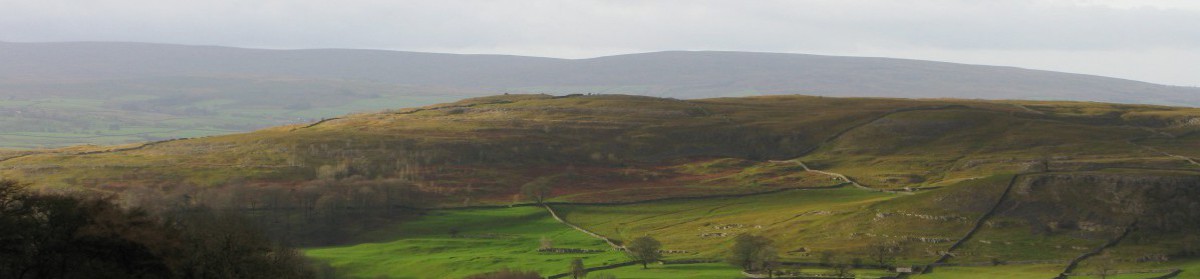
Day 29 Route: Godstone to Kemsing via North Downs Way. Terrain: field, forest and downland paths. Weather: mix of sun and cloud. Daily distance: 29.7 km/18.4 miles. Cumulative distance: 708.8 km/439.6 miles. Accommodation: Park Lane B&B, Kemsing.

Glad to see things are going well for you, Simon! It’s great to follow your progress.
LikeLike
Great progress Simon – glad to hear its going so well – you’ve covered a lot of ground! Love the photos of the countryside and the history.
LikeLike